Log in
All resources
Create a design
35,690 Free Images of Round Maps
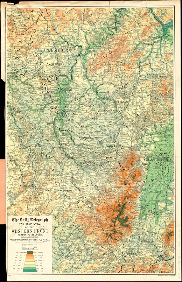
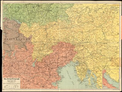
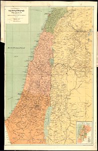
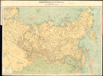
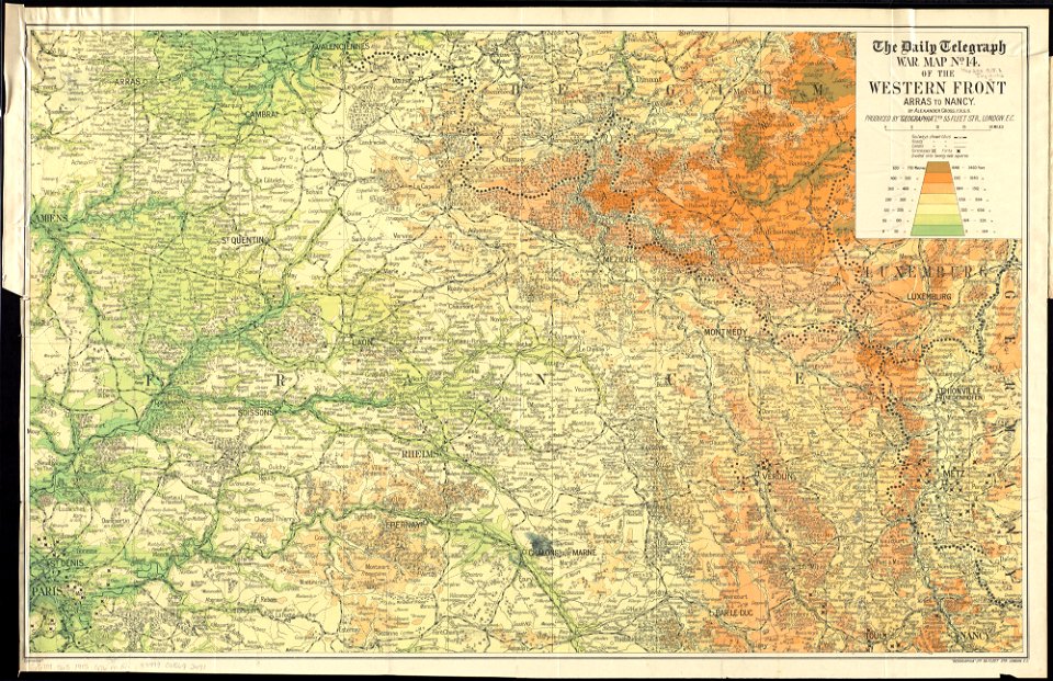
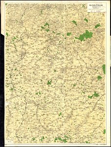
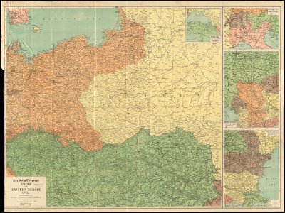
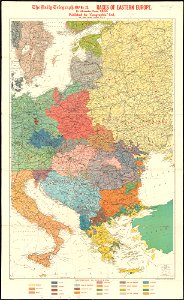
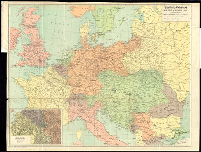
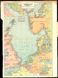
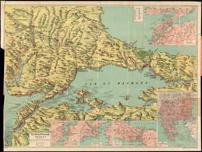
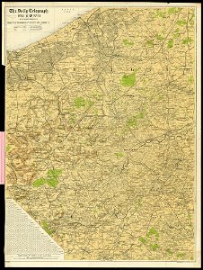
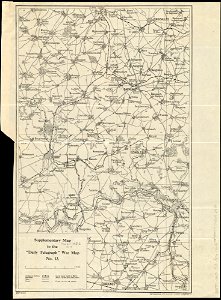
maps of world war i by the daily telegraph
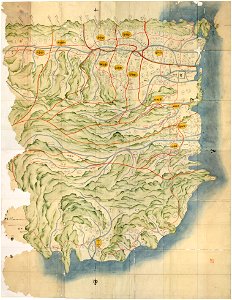
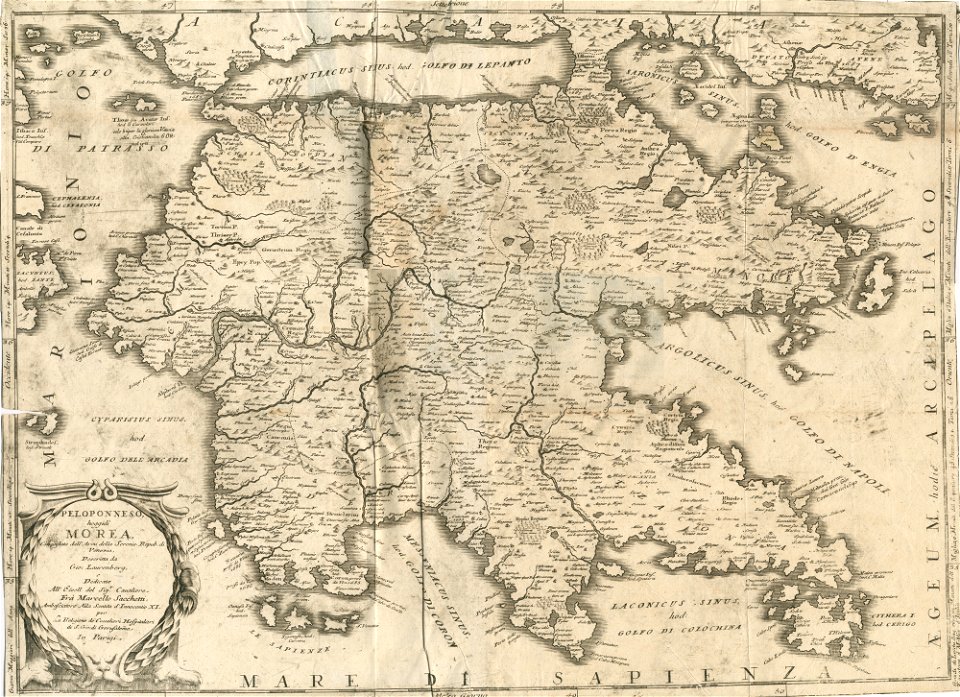
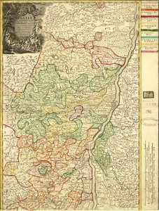
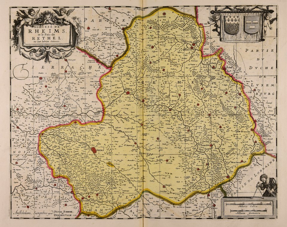
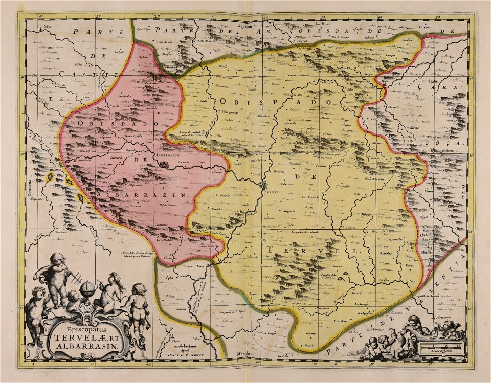
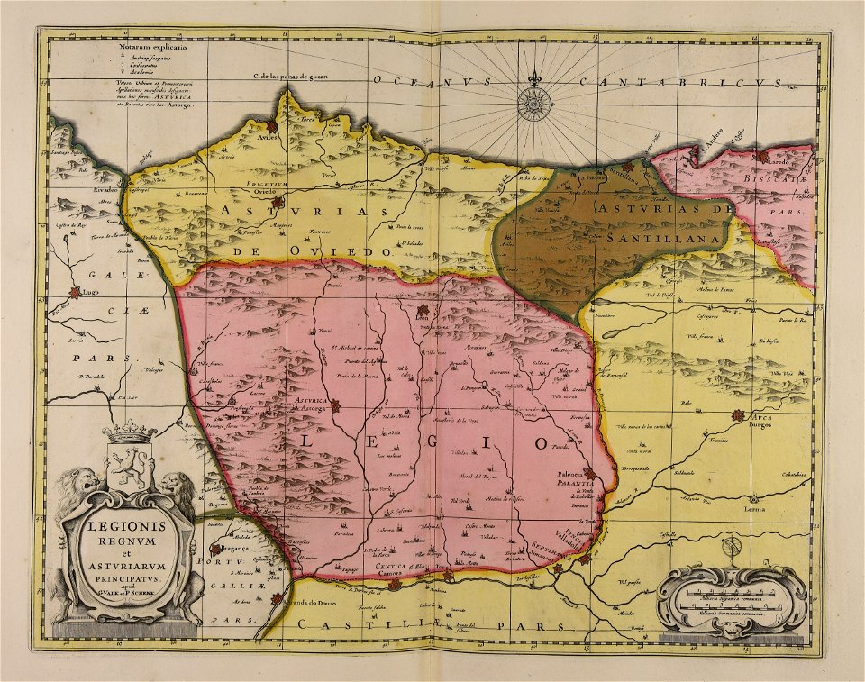
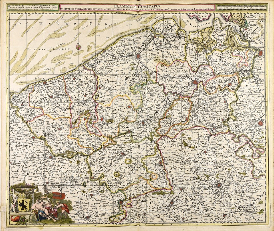
maps made in the 17th century
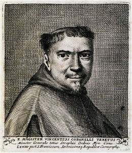
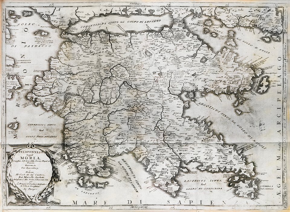
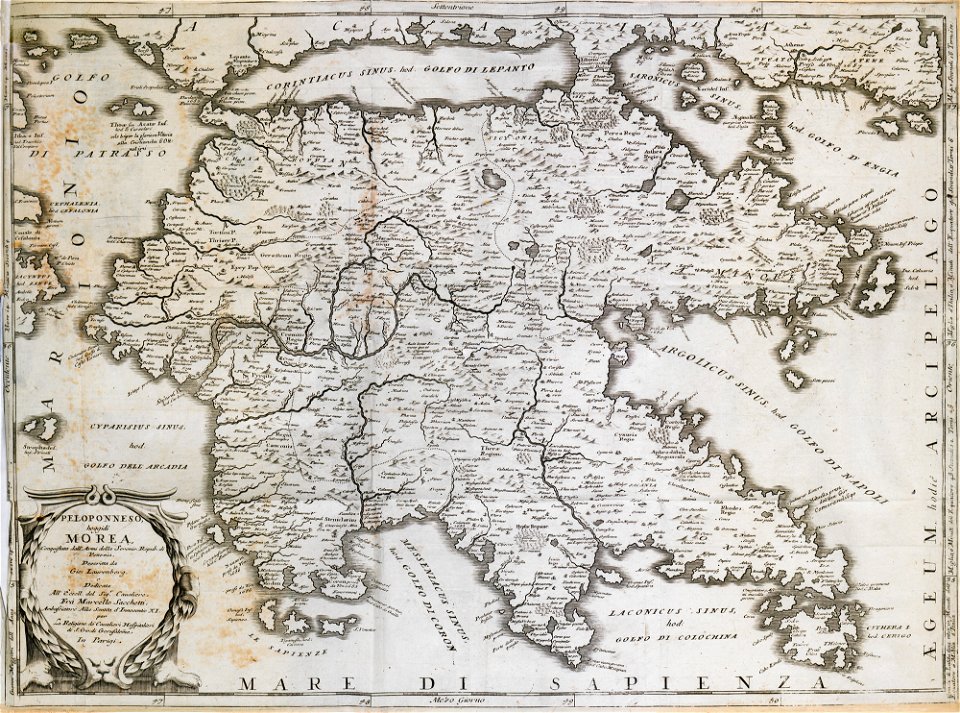
geographical illustrations by coronelli
old maps of the peloponnese
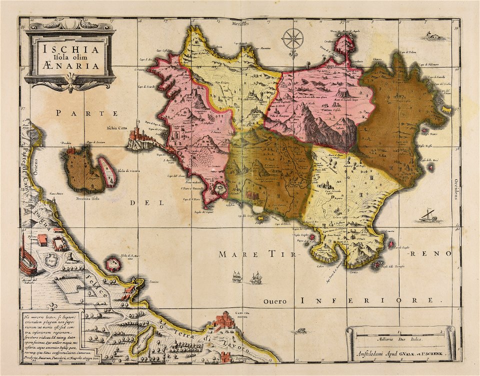
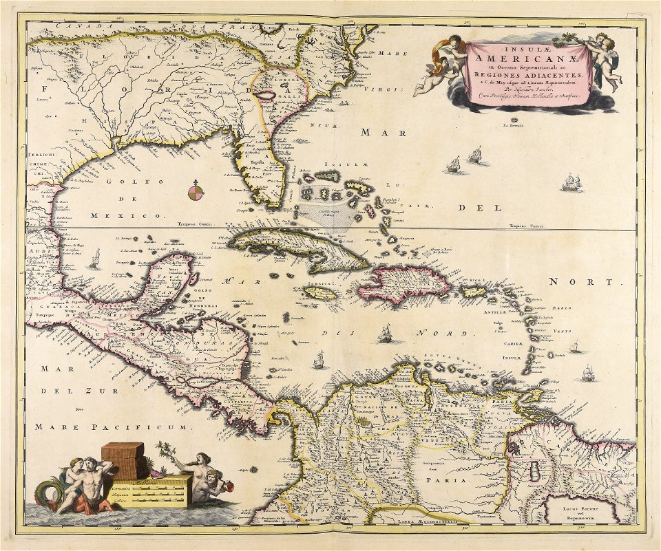
gerard valck
maps by pieter schenk (i)
atlantis magni tomus quartus (biblioteca comunale di trento)
provided by landsbókasafn íslands
maps from the mechanical curator collection
maps from the mechanical curator collection available to georeference
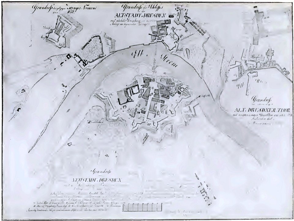
dresden (schumann)
innere neustadt
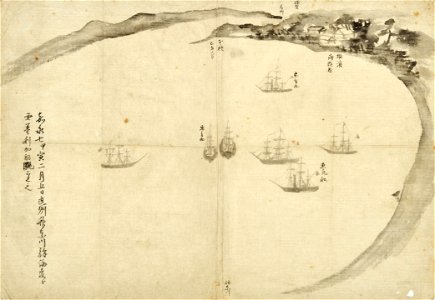
old maps of japan
perry expedition
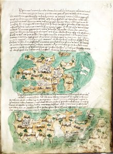
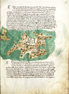
liber insularum archipelagi (royal museums greenwich)
maps of kalymnos
maps of lars kietzlingh
källtorpssjön
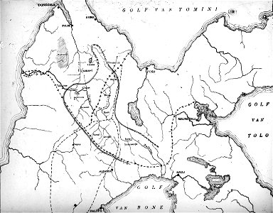
walter kaudern expedition to celebes
maps of central sulawesi
awa province (tokushima)
keichō kuniezu
geographical illustrations by coronelli
old maps of the peloponnese
old maps of bruges
covens en mortier
geographical illustrations by coronelli
old maps of the peloponnese
geographical illustrations by coronelli
old maps of the peloponnese
geographical illustrations by coronelli
old maps of the peloponnese
geographical illustrations by coronelli
old maps of the peloponnese
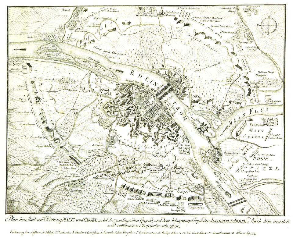
mainz in the 18th century
historical maps of mainz
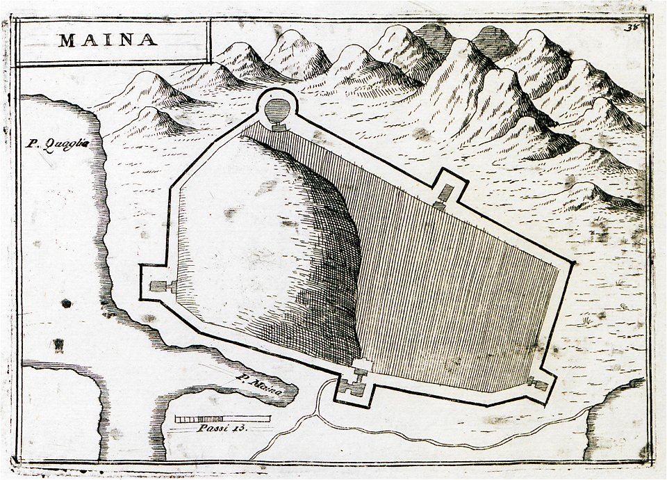
geographical illustrations by coronelli
old maps of the peloponnese
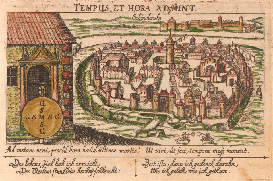
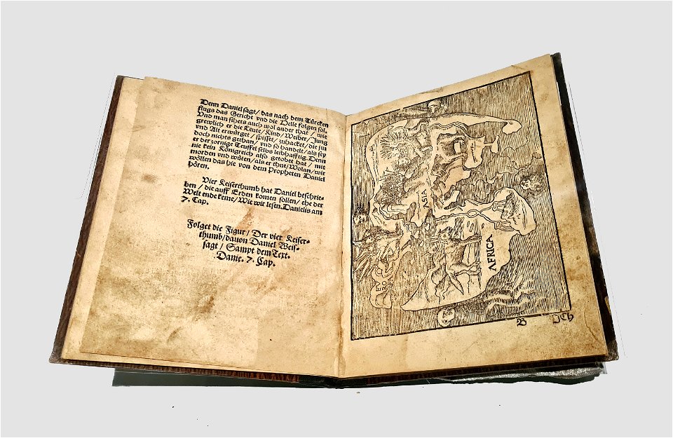
art works by daniel meisner
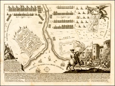
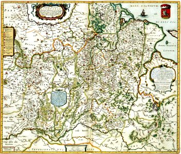
old maps of smolensk
provided by landsbókasafn íslands
19th-century maps of iceland
provided by landsbókasafn íslands
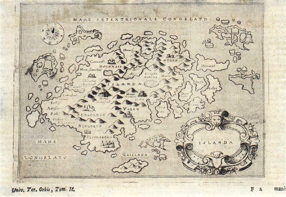
16th-century maps of iceland
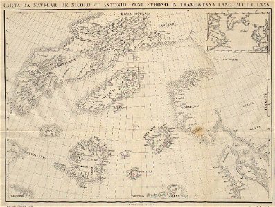
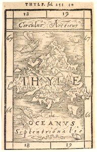
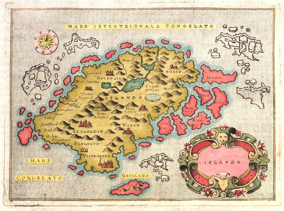
provided by landsbókasafn íslands
16th-century maps of iceland
provided by landsbókasafn íslands
18th-century maps of iceland
provided by landsbókasafn íslands
18th-century maps of iceland
maps in art
disorder
maps of world war i by the daily telegraph
maps of world war i by the daily telegraph
maps of world war i by the daily telegraph
maps of world war i by the daily telegraph
maps of world war i by the daily telegraph
maps of world war i by the daily telegraph
maps of world war i by the daily telegraph
maps of world war i by the daily telegraph
maps of world war i by the daily telegraph
maps of world war i by the daily telegraph
maps of world war i by the daily telegraph
maps of world war i by the daily telegraph
maps of world war i by the daily telegraph
maps of world war i by the daily telegraph
maps of world war i by the daily telegraph
maps of world war i by the daily telegraph
maps of world war i by the daily telegraph
maps of world war i by the daily telegraph
maps of world war i by the daily telegraph
maps of world war i by the daily telegraph
maps of world war i by the daily telegraph
maps of world war i by the daily telegraph
maps of world war i by the daily telegraph
maps of world war i by the daily telegraph
maps of world war i by the daily telegraph
liber insularum archipelagi (royal museums greenwich)
maps of syros
russo-turkish war (1735—1739)
maps by matthäus seutter
theatrum urbium (1610)
old maps of rouen
geographical illustrations by coronelli
old maps of the peloponnese
geographical illustrations by coronelli
old maps of the peloponnese
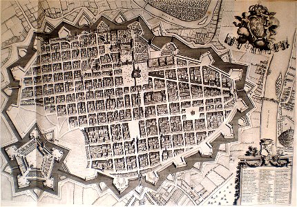
old maps of turin
1674 engravings
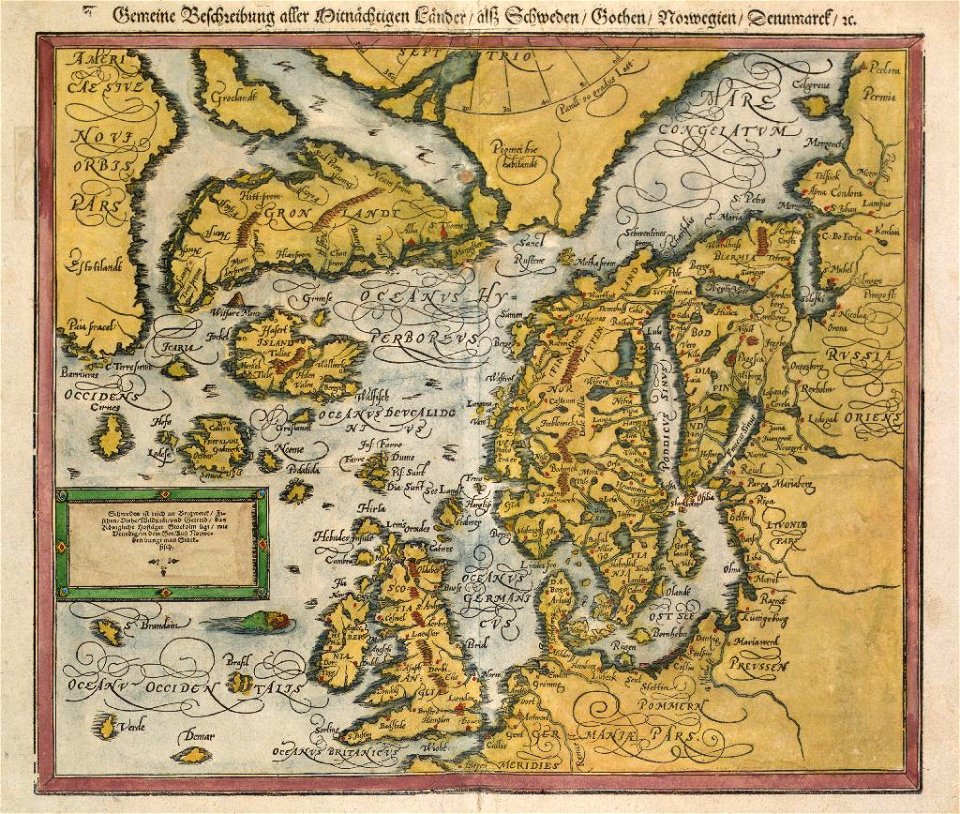
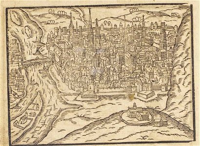
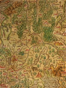
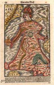
cosmographia (1600) by sebastian münster
old maps of moscow
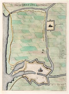
old maps of lower saxony
greetsiel
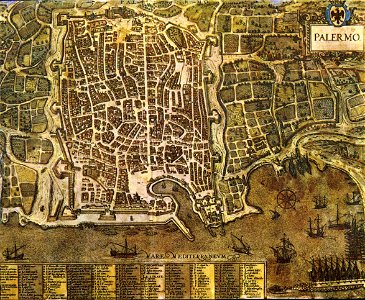
palermo
1581
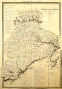
la rioja (spain) in the 19th century
cantabria in the 19th century
18th-century maps of hispaniola
1780 in the caribbean
maps from the mechanical curator collection
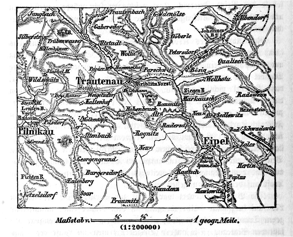
battle of trautenau
maps with cartouches
curonian
cartography
bohemia
university of toronto wenceslas hollar digital collection
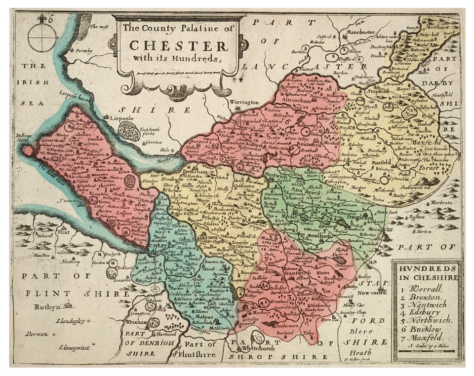
old county maps of cheshire
university of toronto wenceslas hollar digital collection
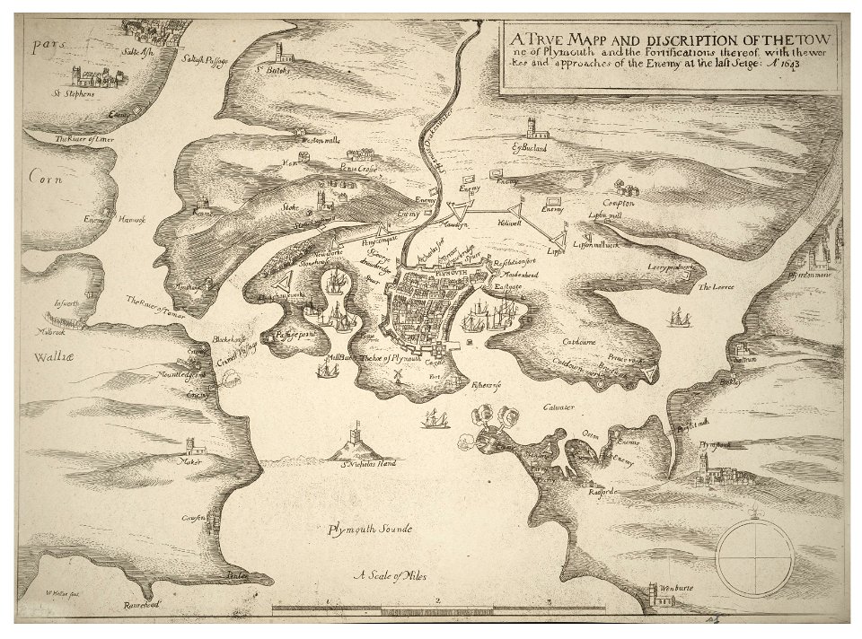
english civil war
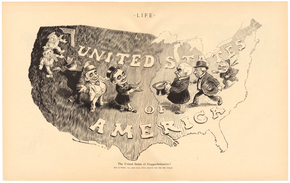
life
1912
university of toronto wenceslas hollar digital collection
old county maps of sussex
university of toronto wenceslas hollar digital collection
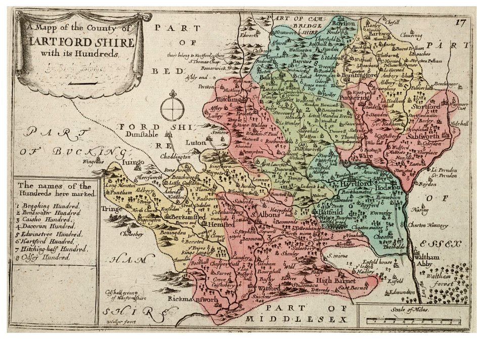
history of watford
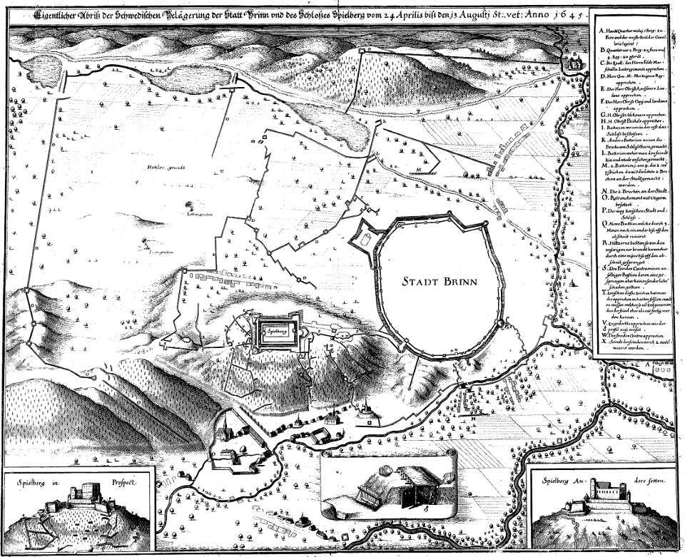
engravings of theatrum europaeum
1645 maps
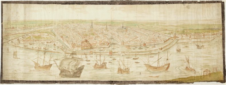
drawings in the stadsarchief amsterdam
anthonis van den wijngaerde
prints from the peace palace library
utrecht in the 18th century
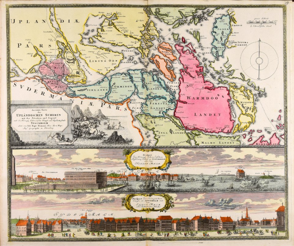
18th-century maps of stockholm
veduta
17th-century maps of france
maps with cartouches
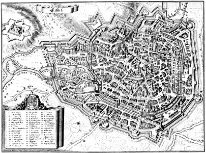
maps of erfurt
erfurt
collections de la bibliothèque nationale et universitaire de strasbourg
johann baptist homann
maps made in the 17th century
gerard valck
maps from the mechanical curator collection
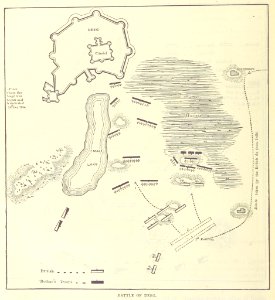
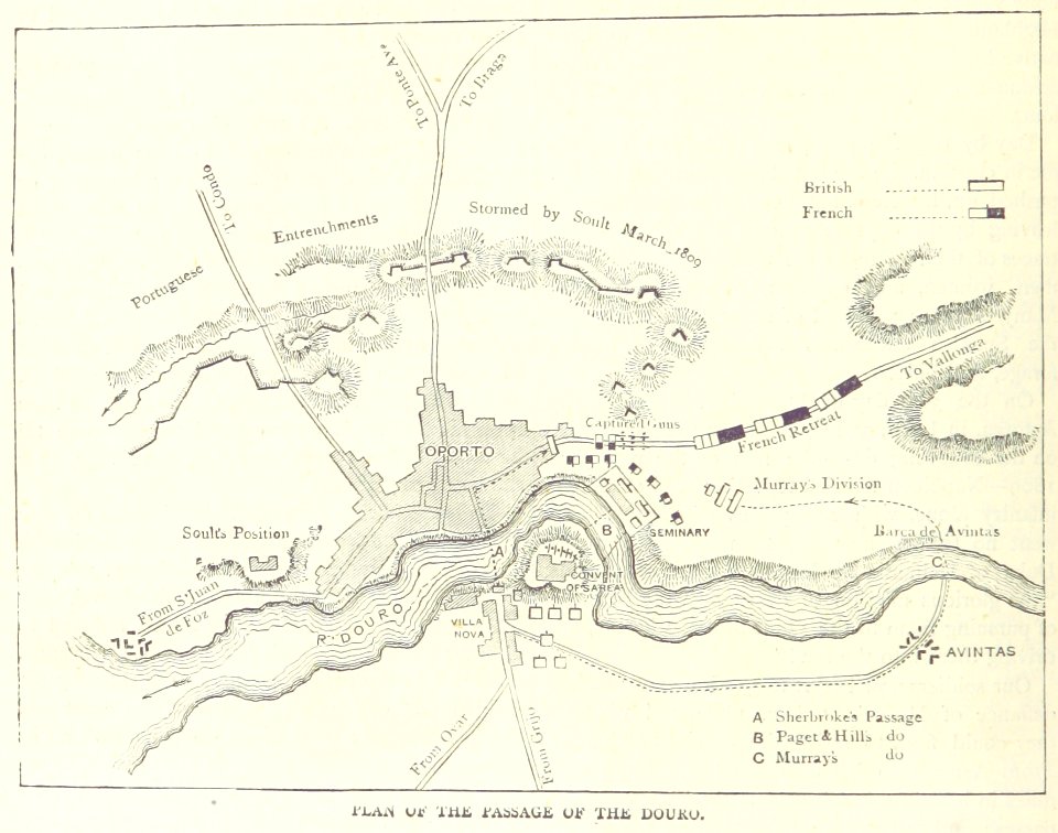
british battles on land and sea
maps from the mechanical curator collection
british battles on land and sea
atlantis magni tomus tertius (biblioteca comunale di trento)
maps made in the 17th century
maps made in the 17th century
gerard valck
maps made in the 17th century
gerard valck
maps made in the 17th century
gerard valck
maps made in the 17th century
gerard valck
collections de la bibliothèque nationale et universitaire de strasbourg
old maps of asia
maps made in the 17th century
gerard valck
mannheim in the 17th century
maps of mannheim
maps made in the 17th century
nicolaes visscher ii
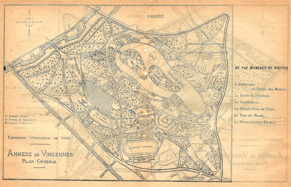
illustrations du catalogue remboursable de l'expo 1900
maps of the exposition universelle (1900)
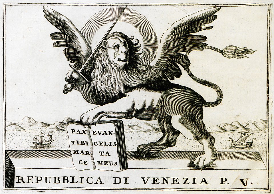
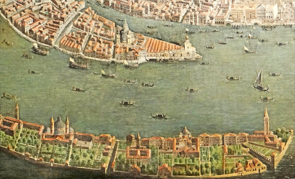
paintings of san giorgio maggiore (venice)
17th-century paintings from italy
maps made in the 17th century
gerard valck
maps made in the 17th century
nicolaes visscher ii
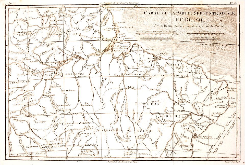
1780 in brazil
1780 maps
maps made in the 18th century
johann baptist homann
maps of waterways in the netherlands
collections of stadsarchief delft
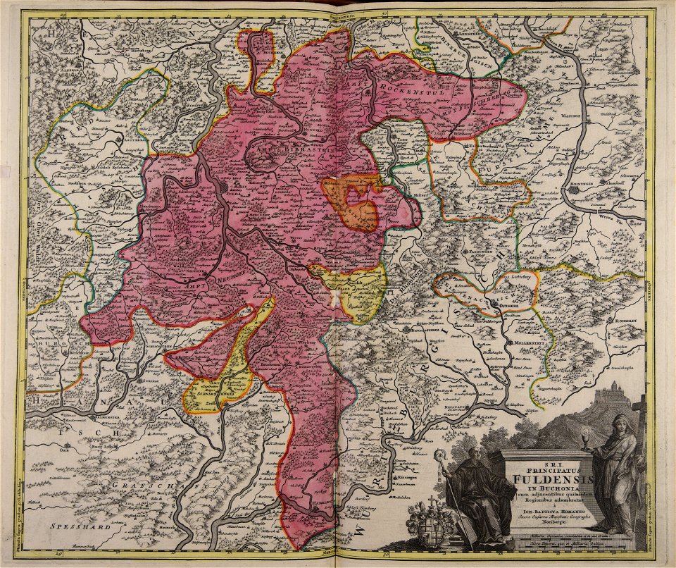
maps made in the 18th century
johann baptist homann
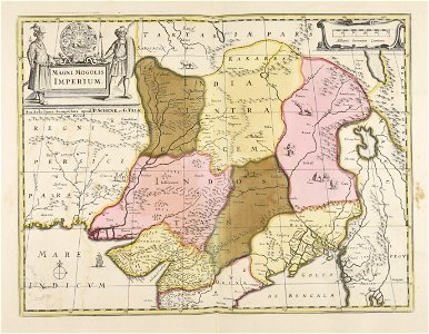
maps made in the 17th century
gerard valck
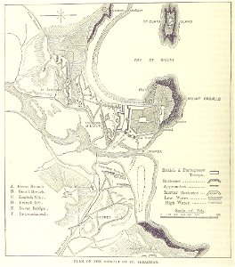
maps from the mechanical curator collection
british battles on land and sea
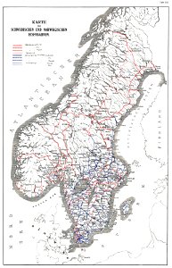
history of rail transport in norway
rail transport maps of norway
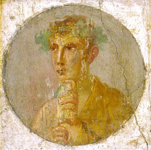
roman empire
scroll
17th-century oil on copper paintings
coins in art
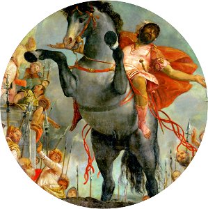
16th-century religious paintings in france
domenico puligo
paolo veronese
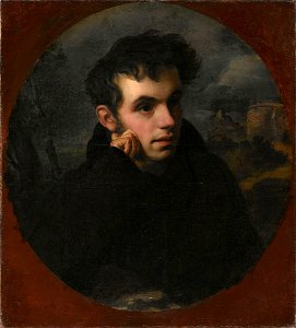
male
list of russian-language poets
round portraits of men
7701 - 7800 of 35,690
Next page
/ 357